

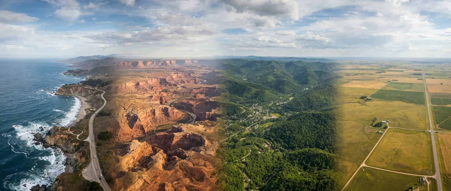
How Americans Define Their Travel Regions
The United States does not have an official geographic breakdown for tourism purposes, but several regional groupings are widely recognized by travelers, government agencies, and the travel industry alike. These regions are shaped by geography, climate, cultural history, and infrastructure — not strictly by state lines. Understanding them helps travelers set realistic expectations before planning a trip.
The country is commonly divided into roughly eight to ten macro-regions: New England, the Mid-Atlantic, the South, the Midwest, Appalachia (sometimes grouped with the South), the Great Plains, the Mountain West, the Southwest, the Pacific Coast, and the Pacific Northwest. Alaska and Hawaii are distinct regions unto themselves.
| Total U.S. states | 50 (48 contiguous, plus Alaska and Hawaii) (U.S. Census Bureau) |
| Contiguous land area | Approximately 3 million square miles (U.S. Geological Survey) |
| Most-visited national park | Great Smoky Mountains National Park (National Park Service annual visitation data) |
| Gulf Coast hurricane season | June 1 – November 30 (NOAA National Hurricane Center) |
| Great Lakes share of global surface freshwater | Approximately 20% (Environmental Protection Agency (EPA)) |
| Average summer high in Phoenix, AZ | Over 105°F (40°C) in July (National Weather Service historical averages) |
Travelers planning multi-stop itineraries across these regions should be aware that distances can be deceiving on a map. See our framework for multi-destination planning for practical advice on keeping complex itineraries manageable.
The Eastern Regions: New England, Mid-Atlantic, and Appalachia
New England covers six states — Maine, Vermont, New Hampshire, Massachusetts, Rhode Island, and Connecticut. The region is known for dramatic fall foliage, rocky Atlantic coastline, and small colonial-era towns. Winters are cold and snowy; summers are relatively mild and attract coastal tourism. Boston serves as the primary transportation hub.
The Mid-Atlantic includes New York, New Jersey, Pennsylvania, Delaware, and Maryland, along with Washington, D.C. This corridor is one of the most densely populated in the country and offers a mix of major urban centers, historic battlefields, and barrier island beaches. The Chesapeake Bay estuary system is a defining geographic feature.
Appalachia spans parts of 13 states along the Appalachian Mountain chain, from southern New York down through Alabama. Travelers here encounter forested ridgelines, river valleys, and towns with strong craft and music traditions rooted in Scots-Irish heritage. The Great Smoky Mountains — straddling North Carolina and Tennessee — form its most-visited subregion and are among the most-visited national park lands in the country.
Low-country
A geographic and cultural subregion of the South Carolina and Georgia coast, characterized by tidal marshes, barrier islands, and a distinct culinary and architectural tradition rooted in Gullah Geechee heritage.
Barrier island
A narrow strip of sand parallel to a coastline, separated from the mainland by a lagoon or bay. Many popular Gulf and Atlantic beach destinations are located on barrier islands, which are subject to storm surge and erosion.
Cascade Range
A major mountain range running from northern California through Oregon and Washington into British Columbia. It creates a rain shadow effect that makes the eastern sides of Oregon and Washington significantly drier than their western counterparts.
Tallgrass prairie
A type of grassland ecosystem once dominant across the central United States, now largely converted to agriculture. Small preserved sections in Kansas and Oklahoma offer visitors a window into pre-settlement landscapes.
Hurricane season
The period from June 1 through November 30 when tropical storm and hurricane activity is most likely in the Atlantic Basin, affecting the Gulf Coast and parts of the Southeast. Travelers to these areas during this window should monitor National Weather Service and NOAA advisories.
The South, Gulf Coast, Midwest, and Great Plains
The South is broadly defined as the states of the former Confederacy, though travelers use the term loosely. It encompasses everything from the low-country coast of South Carolina to the bayous of Louisiana. The Gulf Coast — stretching from Florida's Panhandle through Alabama, Mississippi, Louisiana, and into Texas — is characterized by warm water, barrier islands, and a seafood-centric food culture. Hurricane season (June through November) is a relevant seasonal consideration for this subregion.
The Midwest, sometimes called the Great Lakes region in its northern tier, includes states like Ohio, Indiana, Illinois, Michigan, Wisconsin, and Minnesota. Chicago serves as the region's dominant city and travel hub. The region's identity blends industrial heritage with agricultural plains and significant freshwater resources — the Great Lakes collectively hold roughly 20 percent of the world's surface fresh water.
The Great Plains — Kansas, Nebraska, the Dakotas, and parts of surrounding states — stretch across the interior of the continent. This region sees fewer leisure travelers than coastal areas, but offers significant natural and cultural landmarks including the Badlands, Mount Rushmore, and the Flint Hills tallgrass prairie. Tornado season in spring is a documented safety consideration for this region. Always check current weather and travel advisories from official government sources before visiting.
Western Regions: Mountain West, Southwest, Pacific Coast, and Pacific Northwest
The Mountain West — Colorado, Utah, Idaho, Montana, and Wyoming — is anchored by the Rocky Mountains and receives significant tourism tied to skiing, hiking, and national park access. Elevation affects weather substantially; conditions can shift rapidly, and altitude considerations are real for visitors unaccustomed to high elevations.
The Southwest encompasses Arizona, New Mexico, Nevada, and parts of Utah and Colorado. Desert landscapes, canyon systems, and Indigenous cultural heritage define the region. Las Vegas functions as a major air hub. Summer temperatures in desert areas routinely exceed 110°F (43°C), which is a meaningful safety factor for outdoor activities.
The Pacific Coast runs from the California-Mexico border north through Oregon and Washington. California alone spans climates from Mediterranean in the south to temperate rainforest in the north. The Pacific Northwest — Oregon and Washington — is often treated as a distinct subregion, marked by evergreen forests, volcanic peaks, and significant rainfall on the west side of the Cascade Range.
Whether you're planning a solo trip or traveling with a group, regional context shapes what kind of experience to expect. See our comparison of solo and group travel styles for guidance on matching your trip format to your destination type. For safety considerations when exploring unfamiliar regions, consult our practical safety guidance for travelers.
The content on this site is for informational purposes only and is not a substitute for professional advice. Always consult a qualified professional for guidance specific to your situation.